June 2022 storm effects
Well, we are in winter, after all. The first couple of weeks of June 2022 have been all about the weather. We’ve had gales (one gust even 97 Kph, back from the beach), a 6 metre swell in the open sea (rising to 6.9 metres), plenty of rain (128mm so far), hail, and thunderstorms, oh so many bright and loud thunderstorms! Oh, and a 19 hour power outage, a new 50 cm drop at the Manga Pirau Street beach entrance, and a flood (with driftwood) at Hank Edwards Reserve.
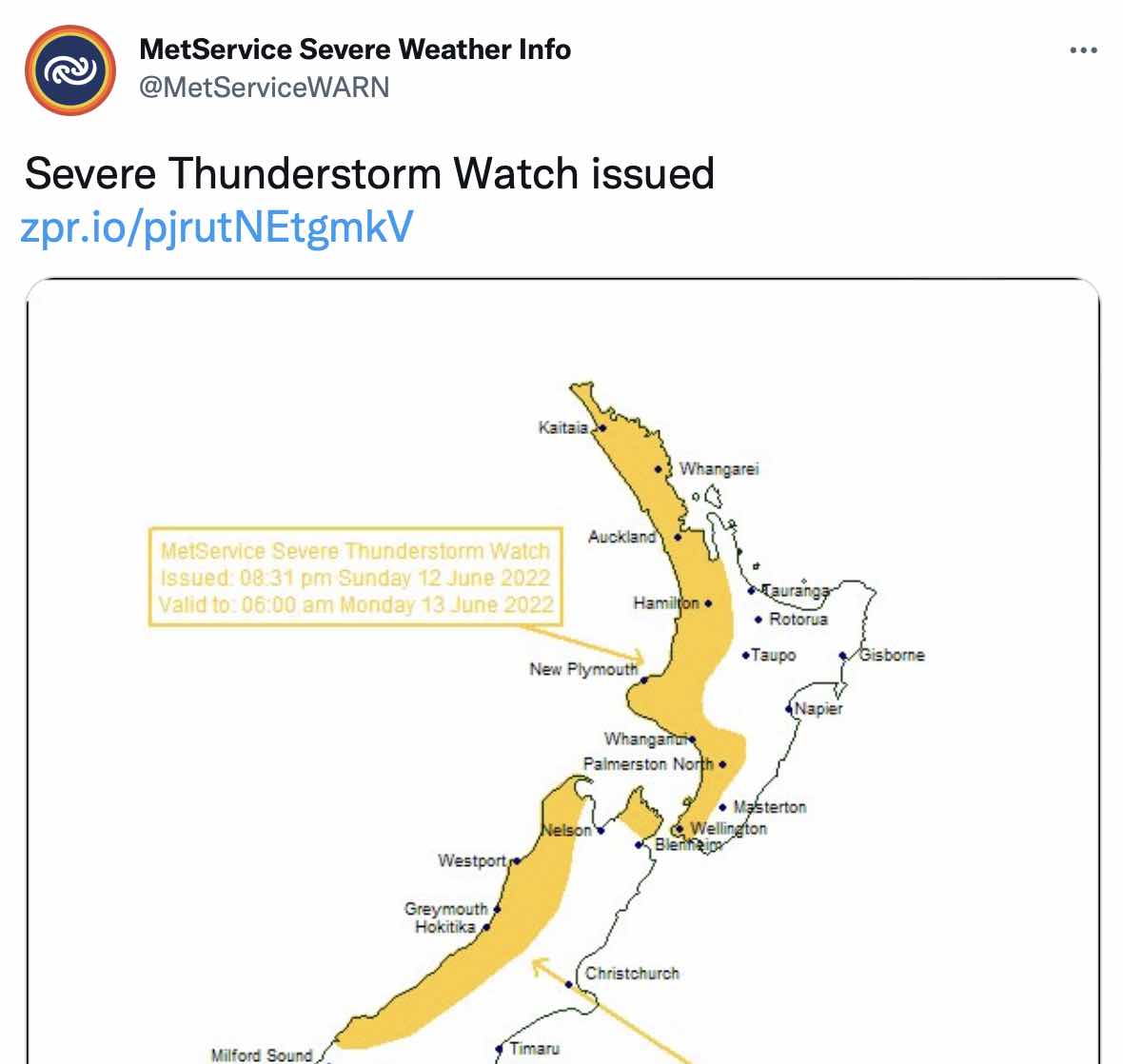
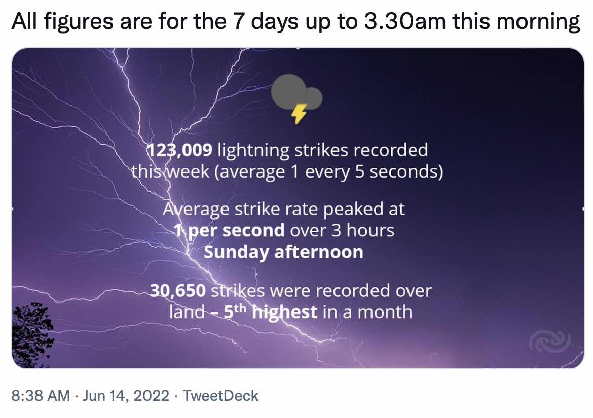
Image via MetService.
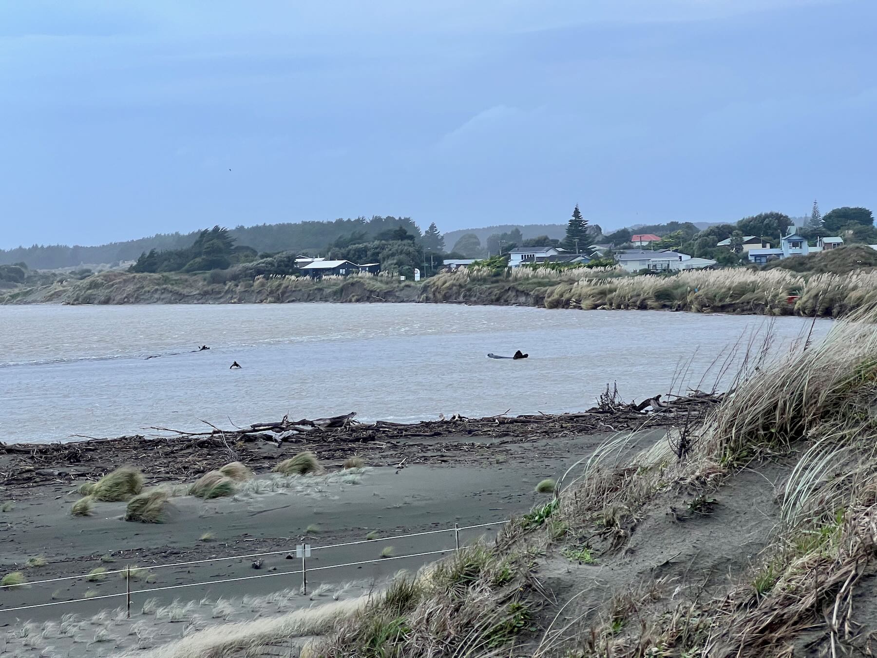
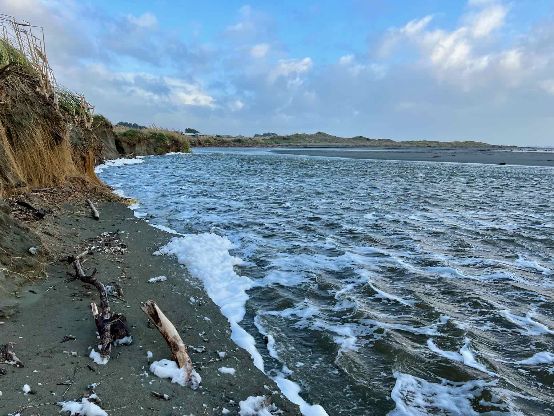
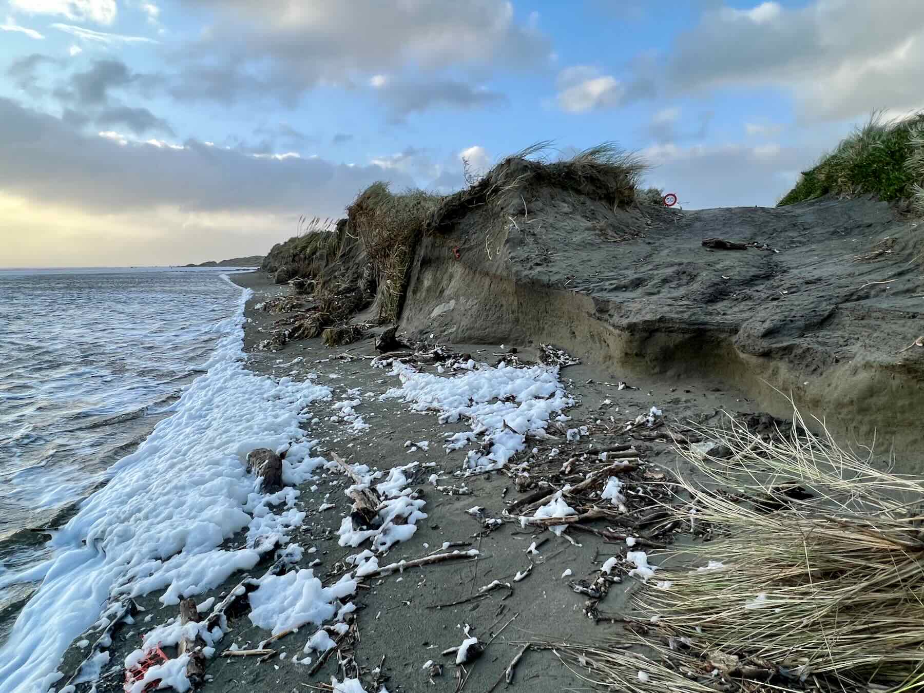
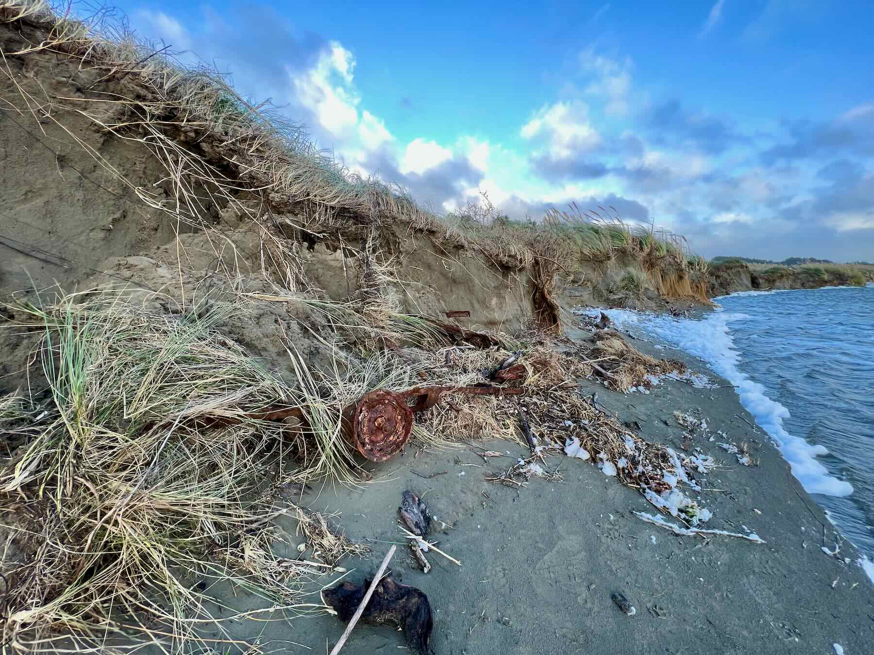
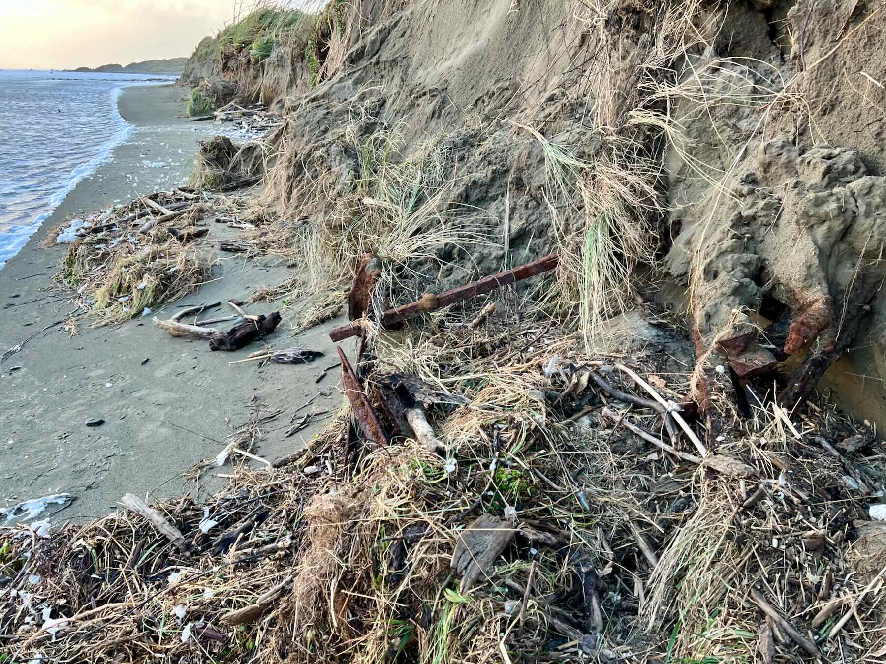
On 11 June I took a look at the beach from various points. Fighting the wind, which nearly took me off my feet and made it hard to hold the camera steady, I observed that the river, at low tide, was only a few centimetres from the base of the dunes. The area beside the Manga Pirau Street beach entrance has lost more sand, and more plants have collapsed from the cliffs. Some kind of rusted vehicle chassis had been partly exposed.
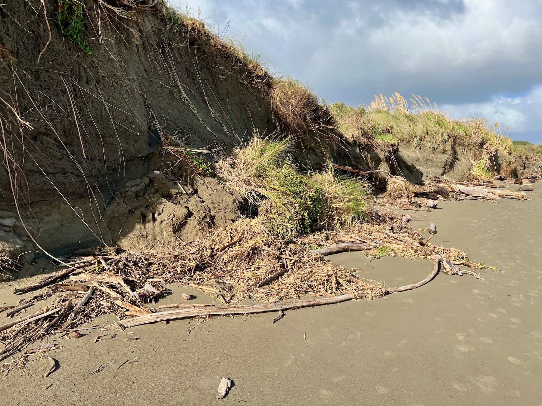

This set me to thinking: by my estimate 12 metres of distance between the flat beach and the edge of the tar seal has been lost in the last 4 years. (My estimate could be off but we all know a ‘whole lot’ has gone.)
If erosion continues at say 3 metres per year and it’s only about 30 metres to the edge of the tarseal (again my possibly faulty estimate) then it’s easy to see that by 2032 (only 10 years away) nearby houses will be threatened and Manga Pirau Street itself will be right at the water’s edge.
It would be useful if people with appropriate skills (surveyors?) could make some actual measurements to help inform what Waikawa Beach residents might like to think about on this matter.
Anyone have any thoughts on getting actual accurate data on these things? Maybe it’s something the Ratepayers Association could look into.
An hour after low tide on 14 June I visited again. The river was very high and swift and there was a 4.6 metre open sea swell and very strong westerlies. There’s now a 50+ cm drop at the bottom of the vehicle track, and that vehicle chassis is now pretty much fully exposed. Even more sand has been carried away from the ‘cliffs’ between the vehicle track and the groyne.
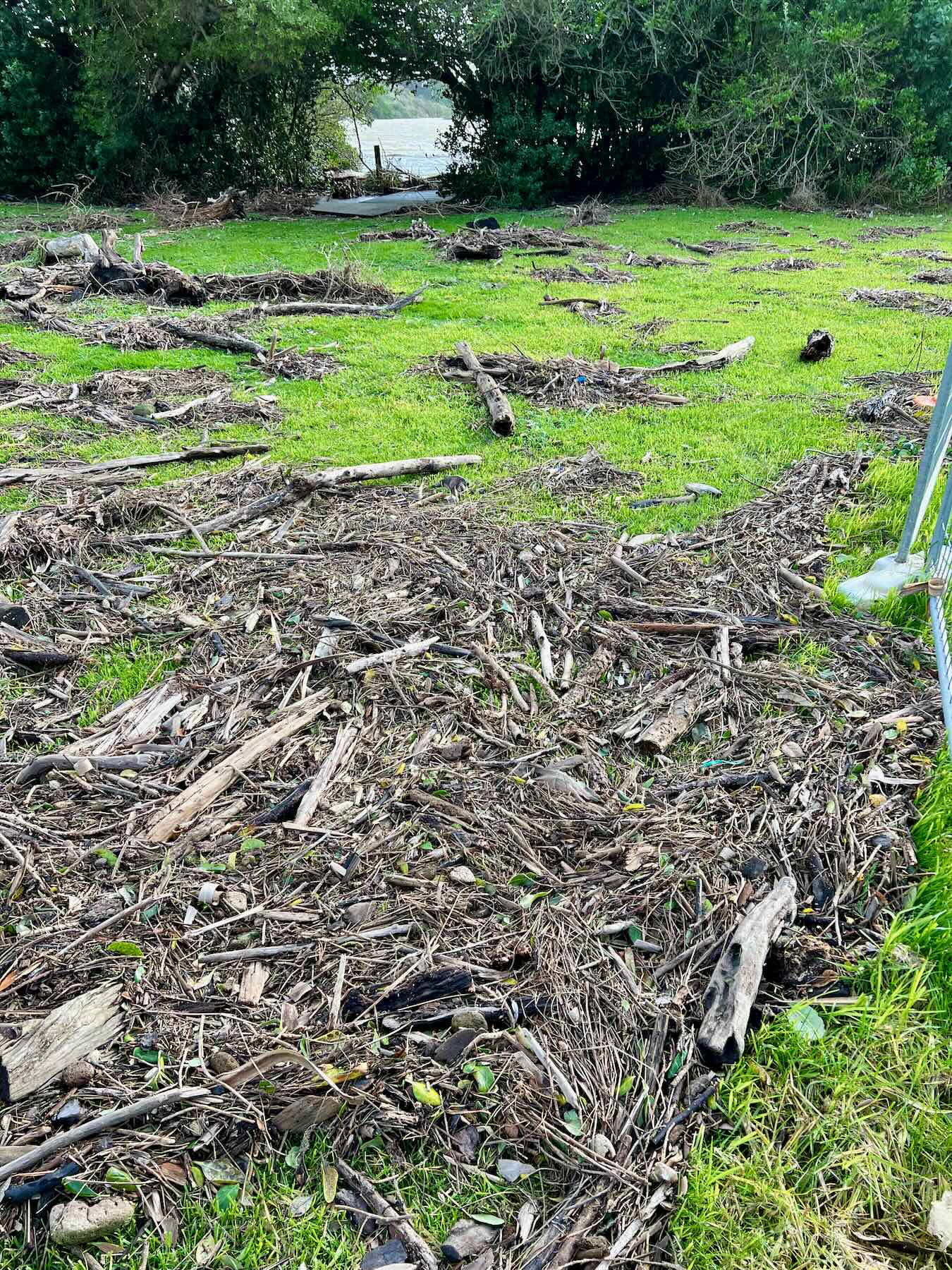
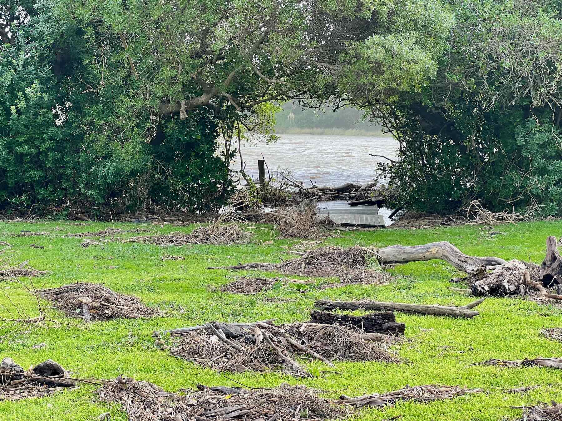
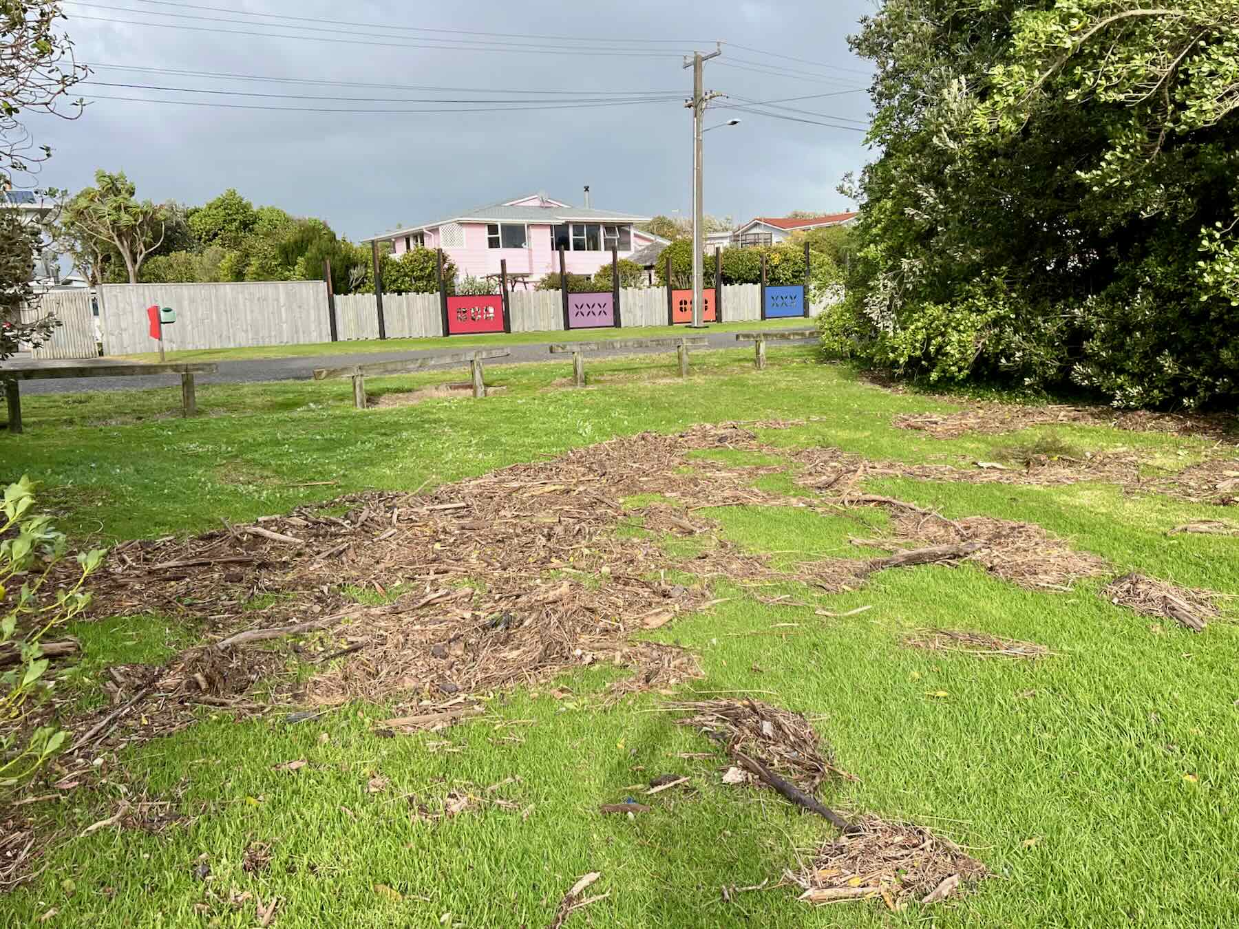
As for Hank Edwards Reserve, on 13 June 2022 at high tide around 8 am and with a very full river, high winds and a very big swell in the open sea, the bottom end of the reserve flooded. That left a field of driftwood, big and small, on the grass.
It’s been a wild couple of weeks!